

DICKINSON — Eight counties make up what’s commonly known as southwest North Dakota. Each has its own history, landscape and identity — and each carries a name with its own origin story.
While most residents know what county they live in, fewer may know how those counties got their names. Some trace back to influential railroad executives, others to political figures or geographic features that shaped the land. Here’s a look at the origins of all eight counties in the region, based on records from the State of North Dakota and local historical societies.
Adams County was created on April 17, 1907, by official proclamation of then-Gov. John Burke, carved from the southern portion of Hettinger County.
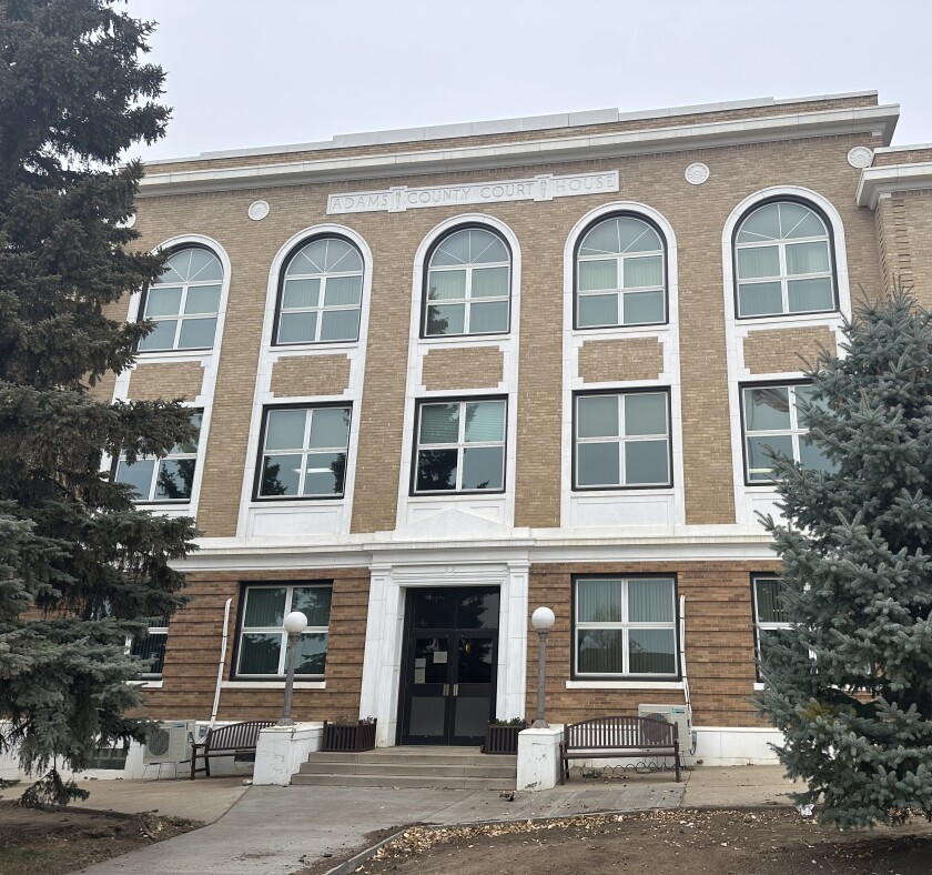
Its county seat is the city of Hettinger — not to be confused with Hettinger County, located directly to the north.
The county is named in honor of John Quincy Adams — not the sixth U.S. president, but a railroad executive with the Milwaukee Railroad Company and a distant relative of both the second and sixth presidents.
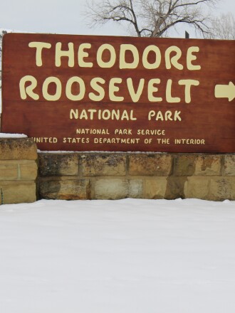
Billings County was created in 1879 by the Dakota Territorial Legislature. Its county seat is Medora, located near the southern unit of Theodore Roosevelt National Park.
Medora is also home to the Medora Musical and the North Dakota Cowboy Hall of Fame. The county was named after Frederick H. Billings, a 19th-century attorney and president of the Northern Pacific Railroad. He is also the namesake of Billings, Montana.
Bowman County was first established in 1883 but dissolved in 1903 due to lack of settlement. It was reestablished by Gov. John Burke in 1907.
Its county seat, Bowman, shares the same name. The county honors Edward M. Bowman, who represented the region in the territorial legislature when the county was first created.
ADVERTISEMENT
Dunn County was established in 1883, with its seat in the small town of Manning, which had a population of 47 as of the 2020 census.

The area is home to the Killdeer Mountain Battlefield Historic Site, where U.S. soldiers under Gen. Alfred Sully fought with members of the Sioux tribe in 1864 in one of the largest military engagements with Native Americans west of the Mississippi River.
Dunn County was named after John Piatt Dunn, a Bismarck businessman who opened the state’s first drug store.


Golden Valley County formed in 1910 after a public vote to split from western Billings County. The election results were challenged in court, but the North Dakota Supreme Court upheld the outcome.
The county seat is Beach. While there’s no confirmed source of the name, most believe it came from the golden glow of prairie grasses in the sunlight. Others point to the Golden Valley Land and Cattle Company, which once held significant acreage in the area.
Hettinger County, founded in 1883, should not be confused with the city of Hettinger — which is actually in Adams County.
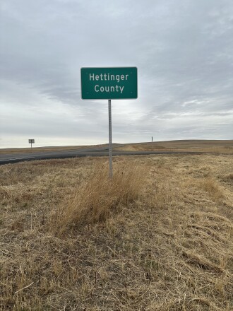
The county seat is Mott. The area includes Regent and the famed Enchanted Highway, a series of towering scrap-metal sculptures created by local artist Gary Greff.
ADVERTISEMENT
The county was named after Mathias K. Hettinger, father-in-law of territorial legislator Erastus K. Williams.
Slope County was officially established on Dec. 31, 1914, after voters approved separating from the southern portion of Billings County. It remains North Dakota’s least populated county, with fewer than 800 residents as of the 2020 census, and is the 18th least populated county in the United States.
Its county seat, Amidon, is one of the smallest incorporated county seats in the nation — a point of pride for many residents and a curiosity for visitors.
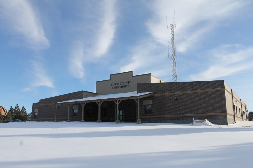
The name “Slope” was chosen in reference to the Missouri Slope, the broad geographic region that stretches across western North Dakota, characterized by gently rolling hills, rugged badlands and fertile prairie.
These physical features give the county its distinctive landscape, including views of the Little Missouri River and access to nearby public lands and scenic byways.
Created in 1879 by the Dakota Territorial Legislature, Stark County is the most populous in southwest North Dakota and serves as a regional anchor. Its county seat is Dickinson, a city that has grown into the economic, cultural and educational hub of the region.
Home to Dickinson State University and numerous oilfield service companies, Dickinson has seen steady growth in recent decades, in part due to its proximity to the Bakken oil formation.
ADVERTISEMENT

Stark County was named after George Stark, a prominent figure in 19th-century railroad expansion and executive vice president of the Northern Pacific Railroad from 1875 to 1879. His work in the development of railway infrastructure helped open western North Dakota to commerce and settlement. The influence of the railroad is still visible today — both in the county’s layout and in the enduring role of freight transport in local industries.
The county also includes smaller communities such as Belfield, South Heart and Richardton, each with its own unique place in the area’s agricultural and railroad history. From cattle ranching and grain production to energy and education, Stark County continues to reflect the intersection of heritage and progress in southwest North Dakota.
Each name offers a window into the region’s past — a time when railroad expansion, homesteading and territorial politics shaped the map in lasting ways.
While the county lines may be familiar, the names behind them hold the deeper story of how southwest North Dakota came to be.


